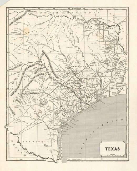
Subject: Texas and Southwest
Period: 1844 (dated)
Publication: Morse's North American Atlas
Color: Black & White
Size:
12 x 15 inches
30.5 x 38.1 cm
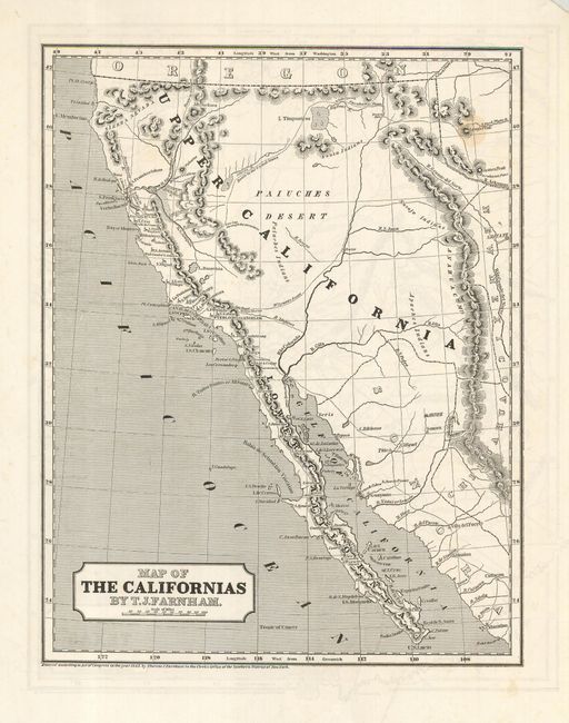
This is a scarce map that was originally published as a loose supplement; later issues were published in the North American Atlas. It is a desirable Independent Republic of Texas map that extends north to above the Red River to the Old Wichita Village, and west to the Presidio Rio Grande and the Rio Colorado at about 101° West. The map locates early land grants, counties, towns and missions, wagon roads, watershed, forts, and more. Printed both sides, with a fine map of Upper California on the verso.
References: Philips (A) #1228-23.
Condition: A
One spot in this otherwise clean, bright map. In margin, the upper left corner is missing paper, well away from map.