Catalog Archive
Auction 117, Lot 288

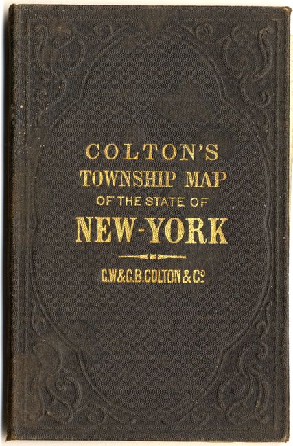
"Colton's Railroad & Township Map of the State of New York with Parts of Adjoining States & Canada", Colton, G.W. & C.B.
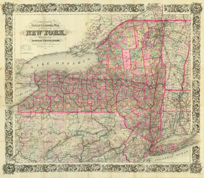
Subject: New York

Period: 1883 (dated)

Publication:

Color: Printed Color

Size:
28 x 24.5 inches
71.1 x 62.2 cm
Download High Resolution Image
(or just click on image to launch the Zoom viewer)

This large, pocket map is dated 1852 in the copyright notice, but updated to 1883 as indicated in the title. The map is filled with detailed information on villages, towns, roads, and a large number of railroads. Decorated with an elaborate and decorative border, it folds into original brown blind-stamped boards (3.8 x 5.5") with gilt titling and is loose from the cover. The map was drawn by Geo. W. Colton and engraved by J.M. Atwood. A truly beautiful example of this pocket map, printed on fine banknote paper.

References:

Condition: A

Extremely nice for a map of this type with a couple of stains in the upper left, blank margin, well away from the map. Faint toning along folds, still overall very good.

Estimate: $230 - $325

Unsold

Closed on 12/6/2006

Archived