Subject: Central United States - Ohio and Michigan
Period: 1832 (dated)
Publication:
Color: Hand Color
Size:
12.7 x 18.5 inches
32.3 x 47 cm
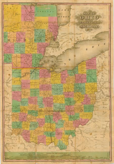
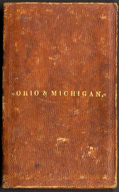
This scarce pocket map shows Ohio with its county configurations current to 1831. The map extends to show early southeastern Michigan colored by county, naming Ann Arbor and Detroit in Michigan and Cleveland and Columbus in Ohio, as well as many other towns. This map shows the border between Michigan and Ohio before the outbreak of the bloodless Toledo War of 1835 and 1836. That conflict occurred over a sliver of land called the Toledo Strip, a 468 square mile strip that both Ohio and Michigan territory claimed as their own. They actually both raised militias and threatened each other from the banks of the Maumee River, but nothing more severe than taunting ensued. Michigan acquiesced to Ohio in order to be admitted to the Union in 1837 and acquire some land in the Upper Peninsula. The land in dispute became Lucas county in Ohio. The map also shows travel routes, canals, towns, rivers, railroads, etc. A profile of the Ohio and Erie Canal is included at the bottom of the map. It is printed on fine, banknote paper and folds into handsome, gilt-stamped leather boards (3.25 x 5") with a card on the endpaper advertising the cost of Finley's maps and atlases and where they could be purchased. Engraved by J. H. Young.
References:
Condition: B
Generally very good for this type of map with original hand coloring. Some separation at folds, as is common with this type of maps. The separations are reinforced on the verso with archival tape. A couple of stains and spots of foxing. Covers with a little rubbing.