Catalog Archive
Auction 116, Lot 789

"Insulae Indiae Orientalis", Cloppenburg, Johannes

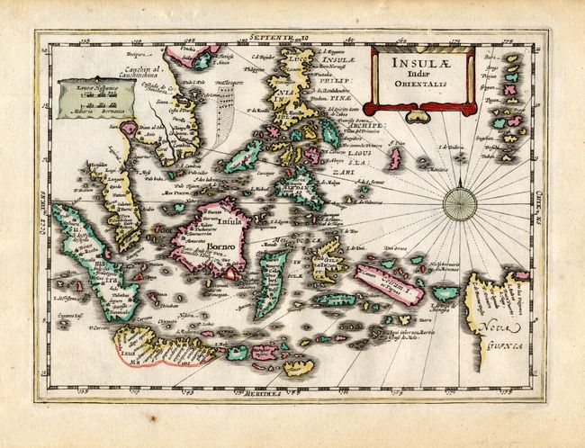
Subject: East Indies

Period: 1632 (circa)

Publication: Atlas Minor

Color: Hand Color

Size:
10 x 7.2 inches
25.4 x 18.3 cm
Download High Resolution Image
(or just click on image to launch the Zoom viewer)

Charming map of the East Indies covers the coast of Indochina and Malaysia with the Philippines and Indonesia. The tip of Malaysian peninsula is bisected with Sincapura shown. The map shows the famous Spice Islands and the important trade capitals of the region. The west coast of New Guinea is exaggerated and the south coastline of Java is shown only by a dotted line. Decorated with a strapwork title cartouche, scale of miles and a compass rose.

References:

Condition: A

Attractive original color. Minor spots in blank margins.

Estimate: $325 - $375

Sold for: $275

Closed on 9/20/2006

Archived