Catalog Archive
Auction 116, Lot 763
"Carte de la Baye d'Hocsieu et des Entrees de la Riviere de Chang…", Bellin, Jacques Nicolas
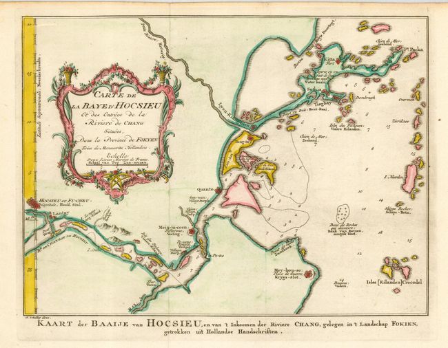
Subject: China
Period: 1759 (circa)
Publication:
Color: Hand Color
Size:
10.8 x 8 inches
27.4 x 20.3 cm
Download High Resolution Image
(or just click on image to launch the Zoom viewer)
(or just click on image to launch the Zoom viewer)