Catalog Archive
Auction 116, Lot 750

"Mare Baikal cum partibus Fluviorum Lenae Argun Selengae et Angarae", Treskot, Johann

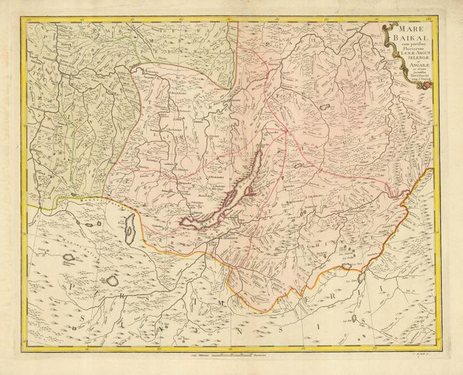
Subject: Russia in Asia

Period: 1772 (dated)

Publication:

Color: Hand Color

Size:
22.5 x 17.8 inches
57.2 x 45.2 cm
Download High Resolution Image
(or just click on image to launch the Zoom viewer)

This is a very scarce regional map prepared for Peter the Great's survey and published by the Geographic Department of the Imperial Academy of Science. It shows the region around Lake Baikal. The map provides great detail of the rivers and lakes, forests, mountains and settlements. Engraved by Christoph Melchior Roth.

References:

Condition: B

Original color. Bit of faint toning and soil. Remnants of framing hinges on verso.

Estimate: $250 - $325

Sold for: $325

Closed on 9/20/2006

Archived