Catalog Archive
Auction 116, Lot 535

"Comitatus Hanoniae", Peeters, Jacques

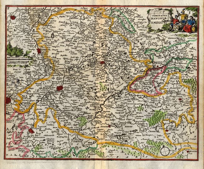
Subject: Belgium and France

Period: 1692 (published)

Publication: L'Atlas en Abrege, ou Nouvelle Description du Monde

Color: Hand Color

Size:
7.2 x 5.8 inches
18.3 x 14.7 cm
Download High Resolution Image
(or just click on image to launch the Zoom viewer)

This small map describes the border region between France and Belgium and includes the fortified cities of Douai, Valenciennes, Mons, and Cambrai. The map is filled with minute detail with hundreds of tiny villages, forests, rivers and lakes. It is decorated with a pictorial cartouche featuring soldiers.

References:

Condition: B

Small paper flaw at left resulting in a couple of tiny holes. Centerfold reinforced on verso, light damp stain.

Estimate: $110 - $140

Unsold

Closed on 9/20/2006

Archived