Catalog Archive
Auction 116, Lot 510

"L'Empire d'Allemagne Divise en tous ses Estats", Jaillot/Ottens

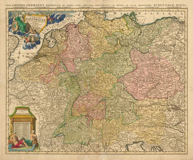
Subject: Europe - Central

Period: 1725 (circa)

Publication:

Color: Hand Color

Size:
24 x 19.3 inches
61 x 49 cm
Download High Resolution Image
(or just click on image to launch the Zoom viewer)

Large map showing the extent of the German Empire stretching from The Netherlands to Poland and from the Baltic Sea to the Gulf of Venice. The map is filled with good detail considering its scale and is colored to show the various political divisions. The title cartouche features Europa with an entourage of putti and a second cartouche containing the publishers imprint and map key features mythical water gods. Latin text in top margin: Nova Imperii Germanici Descriptio…

References:

Condition: B

Old paper repairs of tears or creases along centerfold. Some minor soiling.

Estimate: $150 - $200

Sold for: $100

Closed on 9/20/2006

Archived