Catalog Archive
Auction 116, Lot 509

"The Empire of Germany Divided into its General and Perticular Parts…", Senex, John

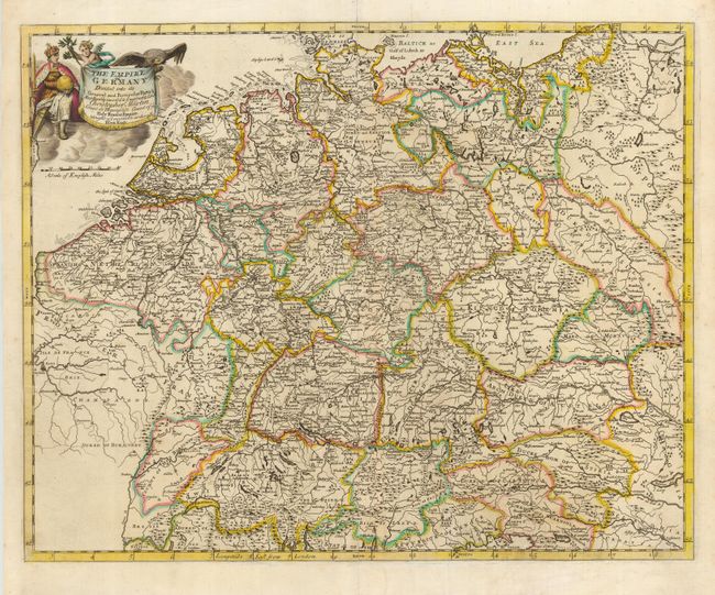
Subject: Europe - Central

Period: 1720 (circa)

Publication:

Color: Hand Color

Size:
20.5 x 16.5 inches
52.1 x 41.9 cm
Download High Resolution Image
(or just click on image to launch the Zoom viewer)

Fine map of the German Empire, which extends to include Belgium and The Netherlands, Switzerland, Austria, the Czech Republic and part of Poland. The map shows the political divisions, topography and major cities and towns. It is decorated with a nice title cartouche featuring a black eagle, the national symbol for the German kings and emperors.

References:

Condition: A

Bit of minor creasing and light soil.

Estimate: $250 - $325

Sold for: $190

Closed on 9/20/2006

Archived