Catalog Archive
Auction 116, Lot 477
"A New Map of the Kingdom of Denmark, comprehending North and South Jutland, Zeeland, Fyen, Laaland, and Part of Holstein", Cary, John
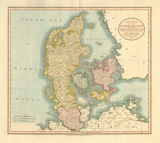
Subject: Denmark
Period: 1819 (dated)
Publication:
Color: Hand Color
Size:
20.2 x 18 inches
51.3 x 45.7 cm
Download High Resolution Image
(or just click on image to launch the Zoom viewer)
(or just click on image to launch the Zoom viewer)