Subject: World
Period: 1920 (circa)
Publication:
Color: Printed Color
Size:
49.3 x 30.3 inches
125.2 x 77 cm
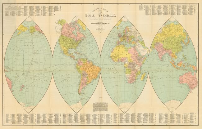
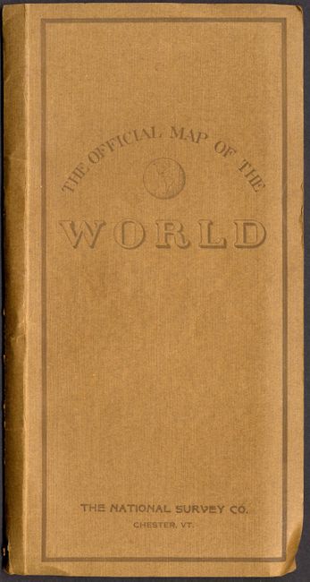
This unusual map contains a description of the 'orange peel' projection, which separates the world into four gore-like areas of equal area. Above and below the map is a key to hundreds of cities with their population. The map shows steamship routes, major railroads, roads, political divisions and capital cities, and major topography and watershed. Map by Lawton V. Crocker who is described in his atlases as the author and cartographer for the National Survey Company of Vermont. A handsome map in remarkable condition for its size, it folds into brown paper covers (5 x 10").
References:
Condition: A
Map is fine less two short tears in lower margin, one just into map and both closed on verso with archival tape.