Catalog Archive
Auction 116, Lot 332

"Map of the State of Virginia From the Latest Authorities", Anon.
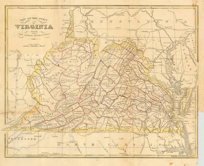
Subject: Virginia

Period: 1843 (circa)

Publication:

Color: Hand Color

Size:
14 x 10.8 inches
35.6 x 27.4 cm
Download High Resolution Image
(or just click on image to launch the Zoom viewer)

A scarce map of Virginia that details the cities, villages and counties with topography shown by hachure. This is an uncommon map for which we find but a few university references, one crediting the map to Colton. We've dated it 1843 because the counties of Marion and Ritchie were formed in that year and are clearly shown on the map while Taylor County that was formed in 1844 is not on the map.

References:

Condition: B

Original coloring. Binding trim at lower right with short tear into map, closed on verso. Issued folding, now flat with some archival tape on verso to strengthen fold intersections.

Estimate: $70 - $100

Sold for: $90

Closed on 9/20/2006

Archived