Subject: New York
Period: 1833 (dated)
Publication:
Color: Hand Color
Size:
19.3 x 16.5 inches
49 x 41.9 cm
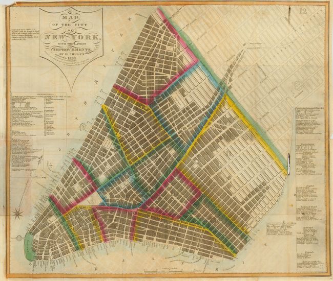
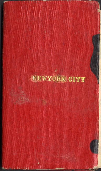
An early and very rare issue of this map of the city that extends to above Thirty-Fourth Street. The hand coloring ends at Fourteenth Street. Streets, parks, the battery, Washington Square, Bellevue, Hudson Square, and docks along the Hudson and East Rivers are among the voluminous information presented in the map. Tables at right list numerous churches by denomination, including Protestant, Presbyterian, Baptist, Reformed Dutch, Methodist, Friends, and Roman Catholic. Table at left lists important buildings and places. City Hall buildings are named and keyed to the map. Printed and engraved by W. Hooker, Engraver and Copper Plate Printer. Printed on fine banknote style paper pasted into original red cover with gilt title and beautiful marbled paper inside. A most historical pocket map that appears to be the second edition as we find only an older issue of 1832.
References:
Condition: B
Good impression with original color. A little offsetting visible in blank areas, small hole (1/8" x 1") at map edge just into Fourteenth Street. Two ink stains on front cover at edge.