Subject: Western United States
Period: 1865-84
Publication:
Color:
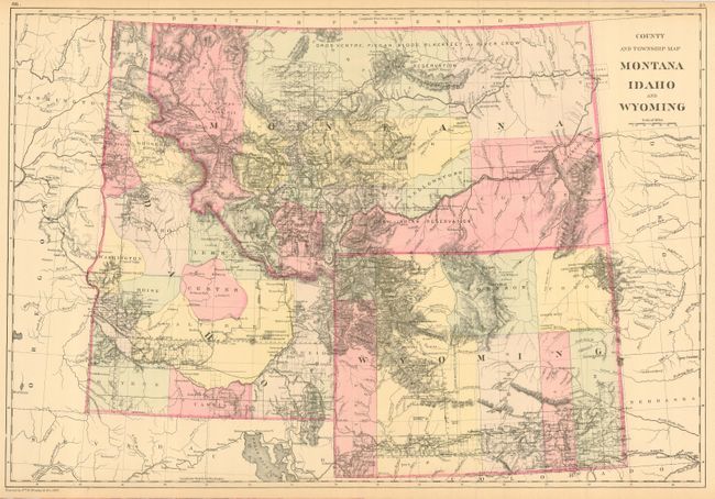
1) County and Township Map of Montana Idaho and Wyoming, Mitchell/Bradley, 1884, original hand color (21.4 x 14.5") This is a great map showing the extent of early surveys and mining.
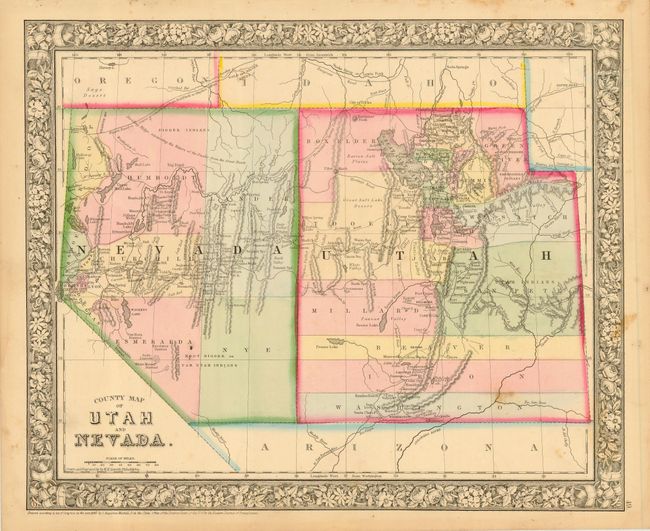
2) County Map of Utah and Nevada, S.A. Mitchell, 1865, original hand color (14 x 11.5") This handsome map locates the Emigrant Road to California, the Hastings Road, a planned wagon road from Red Bluffs to Owyhee mines, Indian tribes, gold and silver mines, the telegraph route and much more. To the south is a portion of Arizona Territory, which occupies the southern tip of present-day Nevada. Decorative floral border.
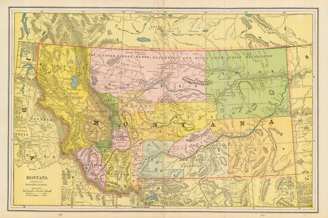
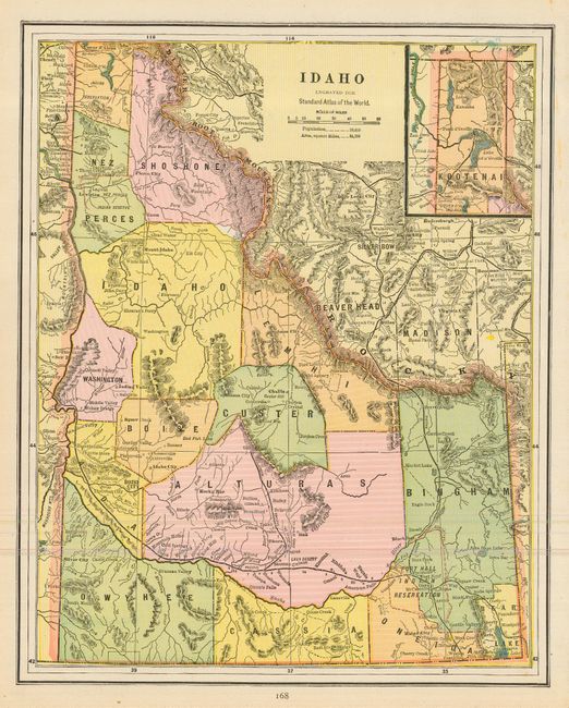
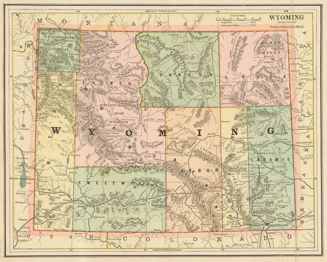
3) Montana, George Cram, from the Standard Atlas of the World [1896], printed color (17.8 x 12.5") This is a nice double-page map showing counties, topography, Indian Reservations, cities, towns and railroads. Equally nice maps of Idaho and Wyoming are on verso.
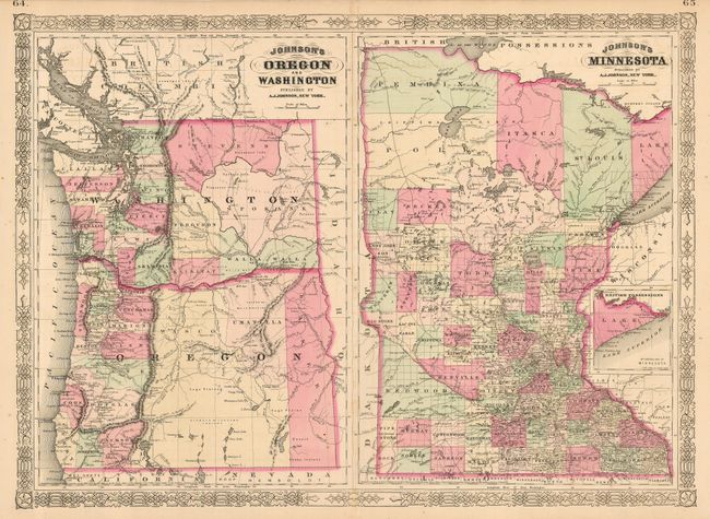
4) Johnson's Oregon and Washington / Johnson's Minnesota, A.J. Johnson, 1865, original hand color (23.5 x 17") This is a double-page map with two maps enclosed in a single decorative border. Both are highly detailed with early county configurations, roads, railroads, Indian Reservations, etc.
References:
Condition: A
All but #3 are professionally encapsulated in Mylar sleeves.