Catalog Archive
Auction 115, Lot 718

"A Chart of the Straits of Sunda with Part of the North Coast of the Island of Java as far as Batavia", Herbert, William

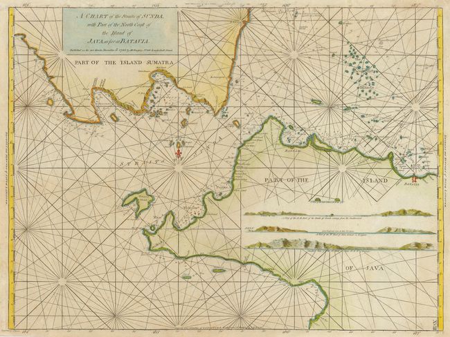
Subject: East Indies - Indonesia

Period: 1780 (dated)

Publication:

Color: Hand Color

Size:
23.5 x 17.5 inches
59.7 x 44.5 cm
Download High Resolution Image
(or just click on image to launch the Zoom viewer)

This is a very scarce sea chart of the strait between Java and Sumatra with the famous island of Krakatoa that was destroyed by volcanic eruptions in 1883, shown at center. The map provides excellent coastal and island detail with soundings, hazards, anchorages and three profile views. First issued in the New Directory for the East Indies in 1758; this example published by H. Gregory in 1780.

References:

Condition: B

Mostly very good with a bit of faint foxing and a slight weak impression affecting only the longitude scale at top.

Estimate: $350 - $400

Sold for: $550

Closed on 6/21/2006

Archived