Subject: Mediterranean, Corsica
Period: 1528-65 (published)
Publication: Isolario
Color: Black & White
Size:
5.5 x 3.2 inches
14 x 8.1 cm
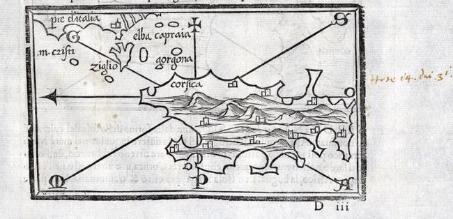
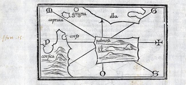
Scarce woodblock map focuses on Corsica with east oriented at top. The map extends to include a bit of the Italian coastline with the island of Elba. On verso is another map showing part of the coastlines of Corsica and Elba and centers on Isola Pianosa. Bordone's Isolario was one of the earliest and most important works of its time. It is remarkable for being the first atlas covering the entire world not based on classical geography, but rather on contemporary information. Bordone was an illuminator and wood-engraver, working in Venice, when he was given permission by the Senate to print maps of Italy and the world. None of those maps have survived and his only remaining works are the maps from the Isolario (Island Book). On a full sheet of Italian text.
References:
Condition: A
Bit of light soil and some manuscript brown ink notations in blank margins.