Catalog Archive
Auction 115, Lot 510

"Wismar Ville Anseatique d'Allemange, du Duche de Meklenburg…", Fer, Nicolas de
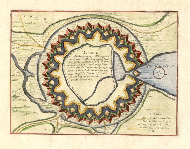
Subject: Germany

Period: 1705 (dated)

Publication: Les Forces de l' Europe…

Color: Hand Color

Size:
10 x 7.5 inches
25.4 x 19.1 cm
Download High Resolution Image
(or just click on image to launch the Zoom viewer)

Great fortification plan graphically describes Wismar, a small port and Hanseatic League town in northern Germany on the Baltic Sea. At the time, Wismar was under Swedish rule. The chart is oriented with north to the right. Nicolas de Fer held the title of Geographer at Louis XIV's court. He was one of the most prolific publishers of plans of European cities in the late seventeenth century.

References: Pollak #21, p. 40.

Condition: A+

Estimate: $70 - $90

Sold for: $50

Closed on 6/21/2006

Archived