Catalog Archive
Auction 115, Lot 479
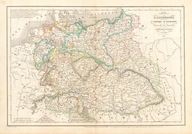
"Carte de l'Allemagne comprenant l'Empire d'Autriche, le Rayaume de Prusse, la Confederation Germanique et la Pologne", Delamarche, Charles Francois
Subject: Europe - Central
Period: 1846 (dated)
Publication:
Color: Hand Color
Size:
17 x 11.5 inches
43.2 x 29.2 cm
Download High Resolution Image
(or just click on image to launch the Zoom viewer)
(or just click on image to launch the Zoom viewer)