Catalog Archive
Auction 115, Lot 475

"Hydrographia Germaniae qua Geographiae Naturales…", Homann, Johann Baptist

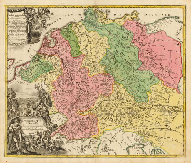
Subject: Europe - Central

Period: 1716 (published)

Publication: Grossen Atlas

Color: Hand Color

Size:
22.5 x 19 inches
57.2 x 48.3 cm
Download High Resolution Image
(or just click on image to launch the Zoom viewer)

Detailed and boldly engraved copper plate map eschews the political to show the watershed with terrific clarity. Down to the smallest river, all are named and delineated from source to mouth; also shows scores of named lakes. The map extends to show all of central Europe, extending from Belgium into Hungary and south to the Gulf of Venice. A handsome sheet decorated with an allegorical cartouche teeming with figures.

References:

Condition: A

Bold engraved lines and fine coloring, on thick paper with original margins. Uncolored cartouche, as issued. Small printer's crease at lower left that enters cartouche, else fine.

Estimate: $400 - $500

Sold for: $300

Closed on 6/21/2006

Archived