Subject: New York
Period: 1858 (dated)
Publication:
Color: Hand Color
Size:
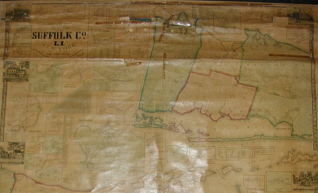
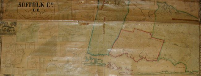
57.5 x 48 inches
146.1 x 121.9 cm
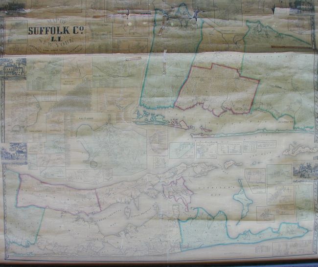
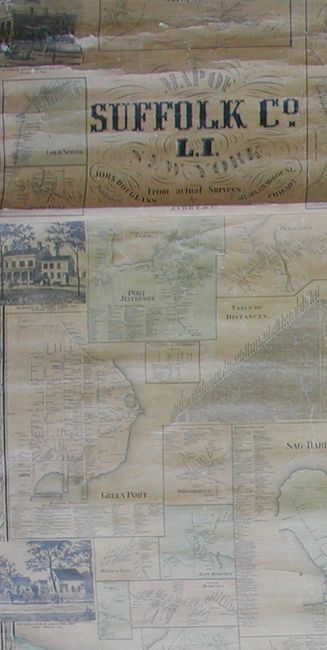
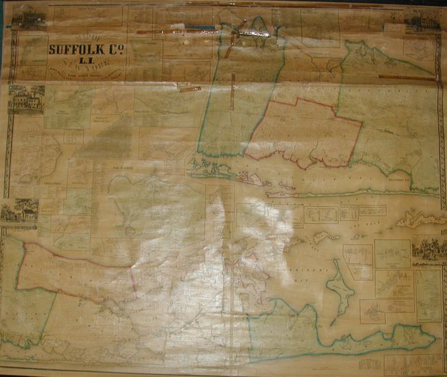
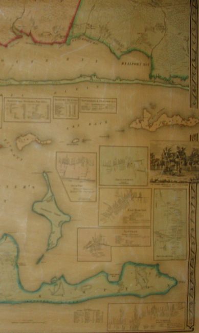
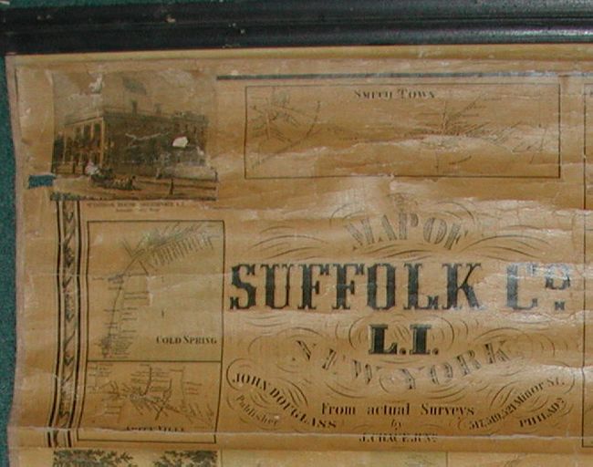
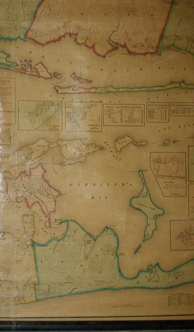
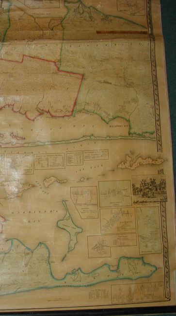
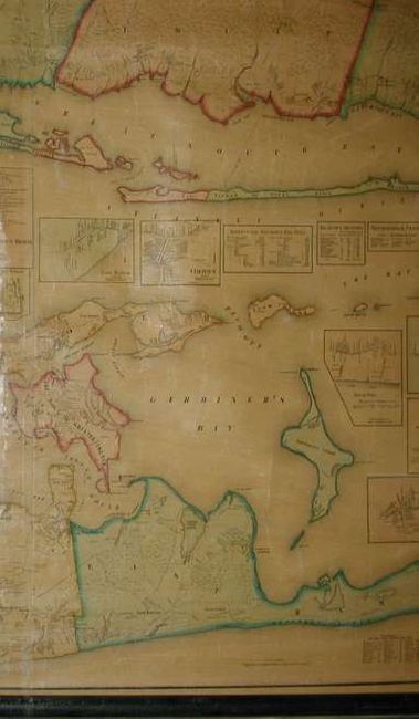
A seldom seen decorative wall map with numerous insets. This is an engraved, large-scale map of Long Island's Suffolk County. With fine inset plans of the towns of Sag Harbor, Port Jefferson, Green Port, East Hampton, South Hampton, Amagansett, Southport, and many more. In total nearly 30 individual town plans. The map divides the county into two sections, the larger detailing the eastern-most end of the island, with the western portion shown as a large inset at upper right. The map is embellished with five engraved views of local residences and important buildings, and a fancy border. A nice map that is deserving of restoration.
References: Phillips, P.L. (Maps) p.832
Condition: C
Lower 3/4 of map is near fine. Beginning about 6" below top roller and extending for 10" is an area of paper weakness with Several breaks or cracks, but with surprising little loss. Both rollers present and attached, but top roller just barely so.