Catalog Archive
Auction 115, Lot 256

"Map of the State of Missouri", Hinton, John Howard
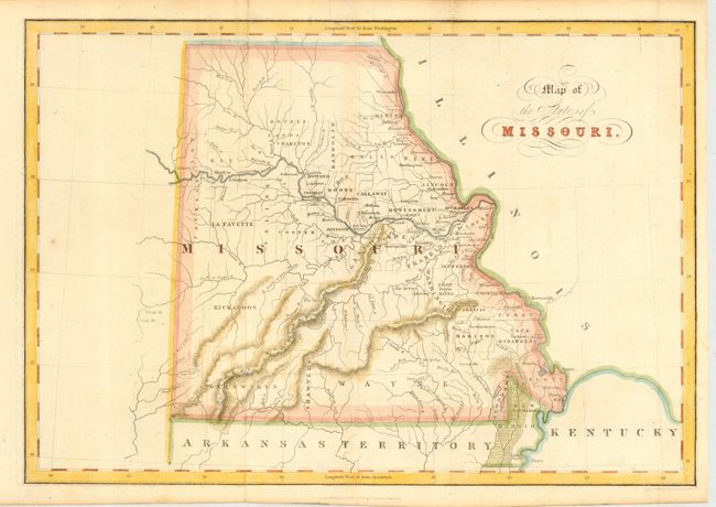
Subject: Missouri

Period: 1832 (dated)

Publication: History of the United States

Color: Hand Color

Size:
14.5 x 10 inches
36.8 x 25.4 cm
Download High Resolution Image
(or just click on image to launch the Zoom viewer)

Attractive, early map of the state with settlement confined along the Mississippi and Missouri rivers and early county development. Many of the western counties exist in name only with no settlements shown and a massive Wayne County dominates the south. The Bounty Lands are shown in the north and several Indian nations are noted in the western part of the state. A fascinating map of the state issued shortly after statehood.

References:

Condition: A

Pleasant later color. Small repaired tear just entering top border.

Estimate: $300 - $350

Sold for: $220

Closed on 6/21/2006

Archived