Catalog Archive
Auction 114, Lot 94

"[Lot of 3] Amerique Septentrionale [and] Carte de la Partie Nord, des Etats Unis de l'Amerique Septentrionale [and] Les Isles Antilles, et le Golfe Du Mexique", Bonne, Rigobert

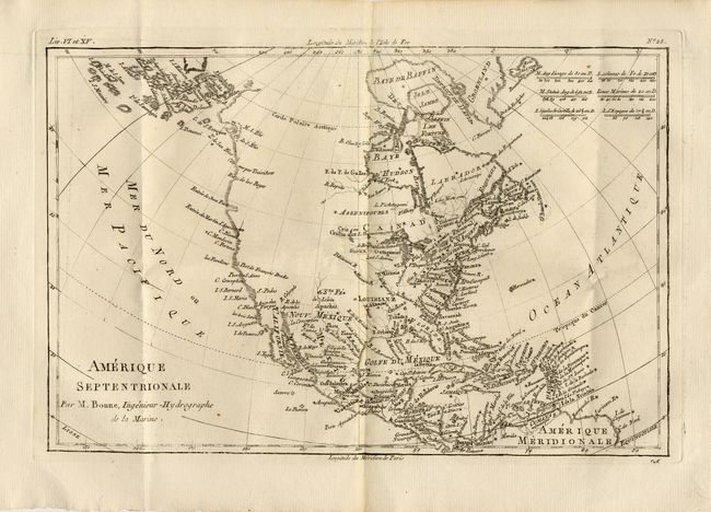
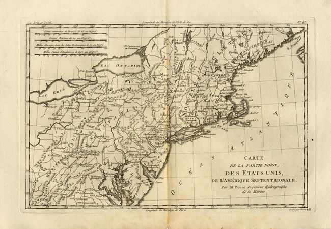
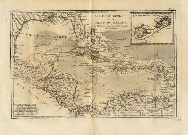
Subject: North America

Period: 1780 (circa)

Publication: Raynal's Atlas de toutes les parties connues du globe terrestre

Color: Black & White

Size:
12.7 x 8.5 inches
32.3 x 21.6 cm
Download High Resolution Image
(or just click on image to launch the Zoom viewer)

Nice group of copper engraved maps. First covers North America with the entire Northwest left blank. Alaska is shown as a group of islands, the largest labeled Alaschka. The United States is shown confined east of the Appalachian Mountains. Second covers the eastern seaboard from Machasuzet Bay to Maryland and inland to Lake Erie and the Ohio River. Includes numerous settlements and forts with excellent detail of mountains and rivers. Third is an attractive map of the Caribbean with good detail of Central America. Includes the Gulf Coast and Florida with St. Augustine, Pensacola and New Orleans named. A large inset of Bermuda is equally detailed along the coasts.

References: NA-Sellers & Van Ee 170; New Eng - McCorkle 782.1; Sellers & Van Ee 744; WI-Sellers & Van Ee 1706.

Condition: A

Overall very good with the map of New England slightly toned on fold. Couple with tears in margins not affecting maps.

Estimate: $300 - $350

Sold for: $220

Closed on 3/1/2006

Archived