Subject: Newspapers
Period: 1861 (dated)
Publication:
Color: Black & White
Size:
11.5 x 16.5 inches
29.2 x 41.9 cm
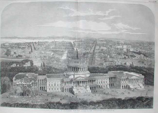
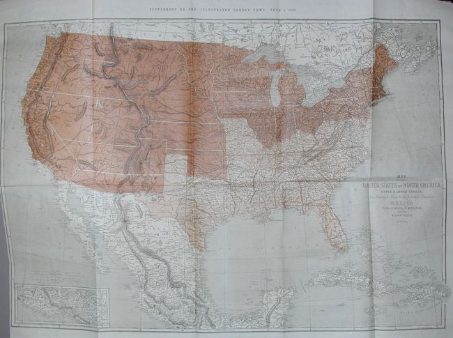
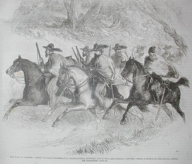
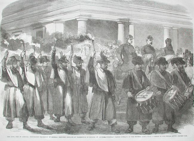
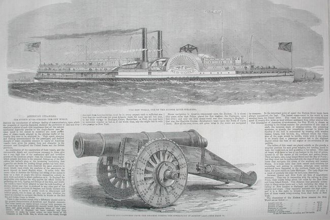
A full year of the ILN bound in two volumes. A wonderful example in great condition that is filled with wood engravings, many dealing with the early events of the Civil War in the United States. Contains the large folding map of U. S. by Ettling (36 x 25") titled "Map of the United States of North America...", [Wheat (TMW) #1025], 36 x 25 inches. This great map shows the division of the country into pro-slavery and Union sections, with the border states of Missouri and Kentucky classified as part of the South. In the West, the proposed Arizona Territory is shown south of New Mexico, Nevada is shown with an early proposed boundary with Utah, and both Washington and Oregon are shown with their eastern boundaries in the Rocky Mountains. The emphasis of the map is the lines of communication and transportation. Several proposed railways are shown, interestingly noting the number of miles each was to span. Also contains a double-page engraving of the Capitol in Washington. The volumes appear to be complete with no outward sign that any plates have been removed. Page counts in several sections of both volumes turned up no missing pages.
References:
Condition: A
Very lightly rubbed, gilt titling and illustrations are fine. Spine of first volume is a little sunned. Contents are very good to fine with very occasional light foxing to some pages. Soiled edges. A lovely example.