Subject: Surveys - Washington
Period: 1872-73 (published)
Publication:
Color: Black & White
Size:
6 x 9 inches
15.2 x 22.9 cm
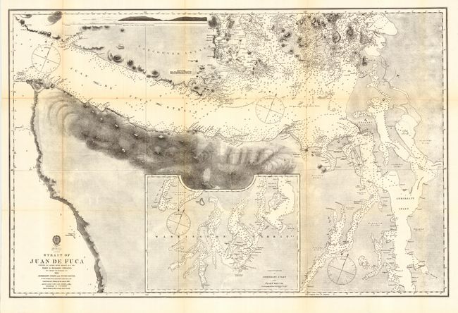
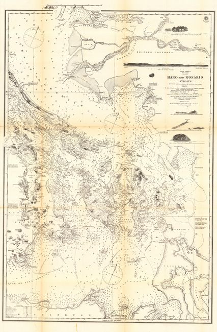
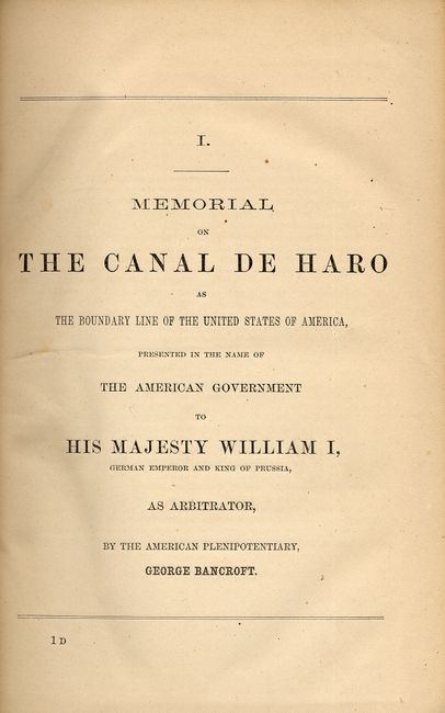
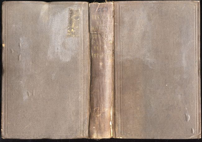
This document was transmitted to Congress with the Annual Message of the President, Dec. 2, 1872. It is an interesting and historically important collection of papers relating to the settlement of the boundary dispute between the United States and Great Britain. The dispute was submitted to arbitration and settled when the German Kaiser decided in favor of the United States. The maps provide an excellent review of the several surveys conducted over the years and the documents offer a history of the claims and negotiations. Hardbound in original brown cloth, with all maps present, 271 pp. Contains approximately eight folding maps bound with text, and a further ten large folding maps bound at back. Maps have occasional scattered foxing. Includes an additional copy of two of the more important maps separated from book; "Strait of Juan de Fuca" (33.8 x 22.5") and "Haro & Rosario Straits" (22.5 x 33.8"). Both maps are good to very good, with light toning along folds, backed with archival tissue. Both are from the Admiralty surveys by Capt. G.R. Richards, R.N. aboard H.M.S Plumper. The complete book and two extra maps.
References:
Condition: B
Spine split and with one crack across title. Binding is worn. Text contents tight, two maps misfolded.