Catalog Archive
Auction 114, Lot 485
"Transylvania", Mercator/Jansson
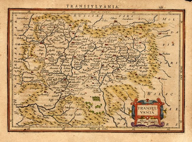
Subject: Romania & Hungary
Period: 1634 (published)
Publication: Atlas Minor
Color: Hand Color
Size:
7.8 x 5.5 inches
19.8 x 14 cm
Download High Resolution Image
(or just click on image to launch the Zoom viewer)
(or just click on image to launch the Zoom viewer)