Catalog Archive
Auction 114, Lot 368
"A New Map of England and Wales By Thos. Jefferys Geographer to his royal Highness the Prince of Wales", Jefferys, Thomas
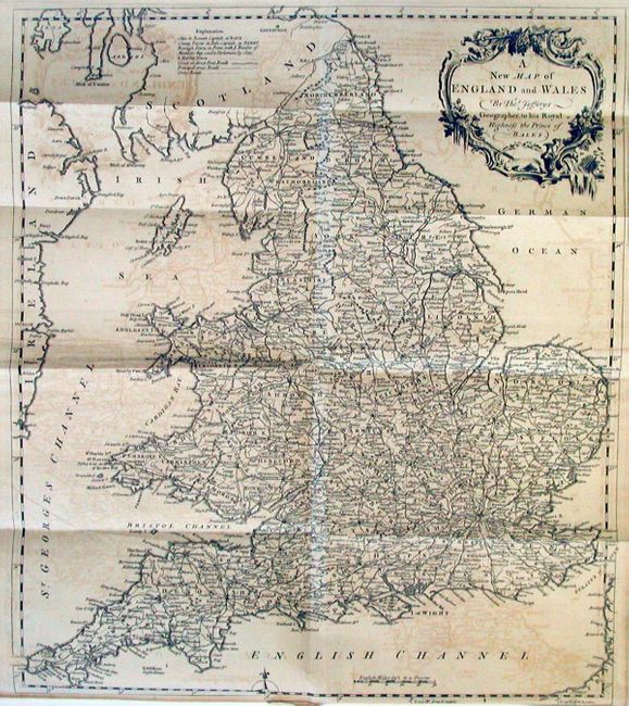
Subject: England & Wales
Period: 1757 (published)
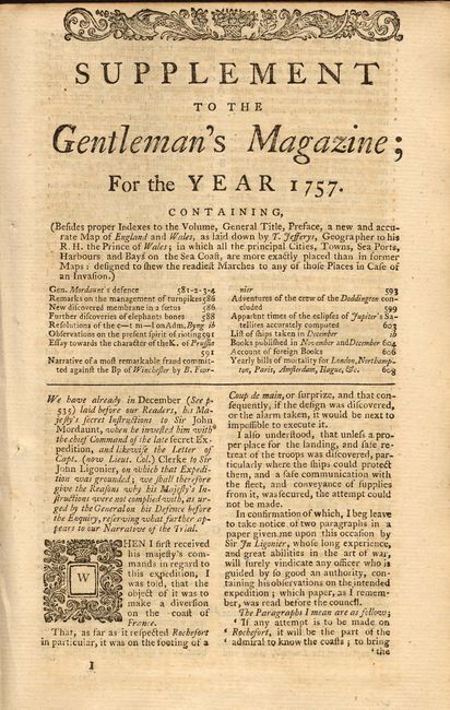
Publication: Gentleman's Magazine
Color: Black & White
Size:
14.6 x 17 inches
37.1 x 43.2 cm
Download High Resolution Image
(or just click on image to launch the Zoom viewer)
(or just click on image to launch the Zoom viewer)