Catalog Archive
Auction 114, Lot 346
"Carte Reduite de l'Ocean Occidental Comprenent les Cotes d'Europe et d'Afrique…et les Cotes d'Amerique opposees…", Depot de la Marine
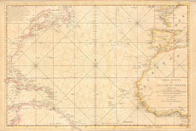
Subject: Atlantic Ocean
Period: 1743 (circa)
Publication:
Color: Hand Color
Size:
30.5 x 20.5 inches
77.5 x 52.1 cm
Download High Resolution Image
(or just click on image to launch the Zoom viewer)
(or just click on image to launch the Zoom viewer)