Catalog Archive
Auction 114, Lot 300
"Plano del Puerto de Vera Cruz Levantado en 1807", Direccion de Hidrografia
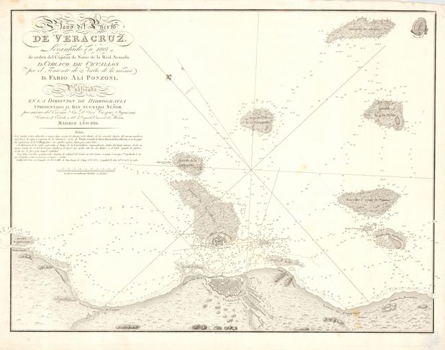
Subject: Mexico
Period: 1816 (dated)
Publication:
Color: Black & White
Size:
23.5 x 18 inches
59.7 x 45.7 cm
Download High Resolution Image
(or just click on image to launch the Zoom viewer)
(or just click on image to launch the Zoom viewer)