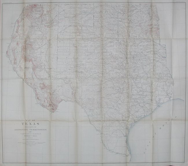
Subject: Texas, Oklahoma & New Mexico
Period: 1889 (dated)
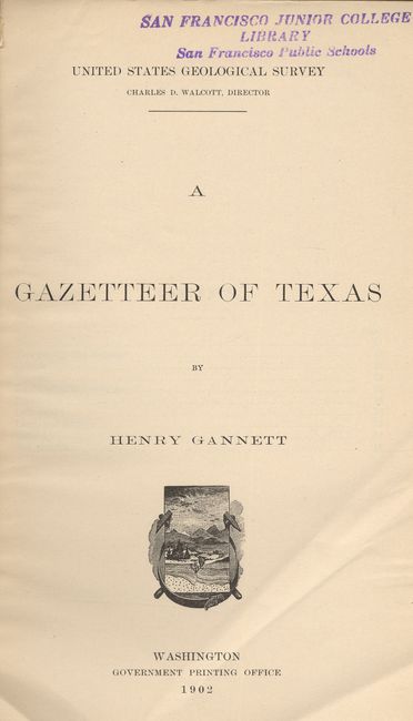
Publication: A Gazetteer of Texas
Color: Printed Color
Size:
35.5 x 31 inches
90.2 x 78.7 cm
A large and extremely detailed map of the state that also includes most of Oklahoma and New Mexico east of the Rio Grande and south of Taos. Details counties, county seats, railroads, topographical and watershed. This map by Robert T. Hill, a widely known scholar, teacher and geologist, brought new sophistication to Texas cartography and helped set new scientific standards for the region's cartography. The map is still bound into it's original USGS Bulletin #190 - A Gazetteer of Texas by Henry Gannett. With new paper cover, two title pages (USGS & Gannett's), text, maps in text, folding map at back, 162 pp.
References: Martin & Martin Plate 50.
Condition: A
Both title pages bear at top the blue stamp of a previous owner. The original paper cover is missing, here replaced by neat brown paper. The map is fine less some light toning along a couple folds.