Subject: Boston, Massachusetts
Period: 1880 (circa)
Publication:
Color:
Very nice pair of pocket maps of Boston - one a miniature.
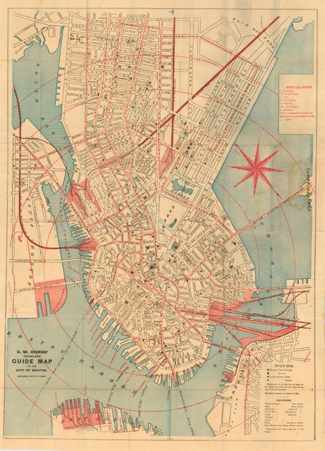
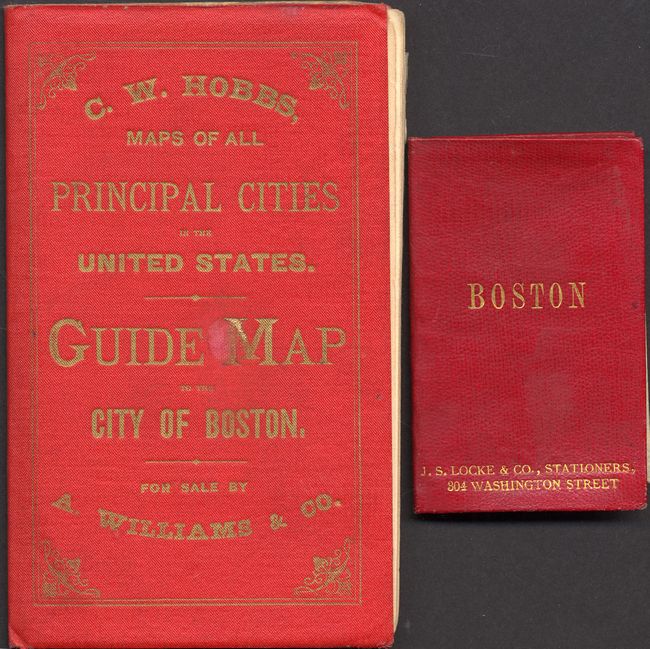
The first map is in printed color and folds into gilt-stamped red cloth covers, with 12 pages of text; several pages detail the seating plans for various theaters. The boldly printed map has a large compass rose. The map measures 18.3 x 25.5" and the cover are 3.5 x 6".
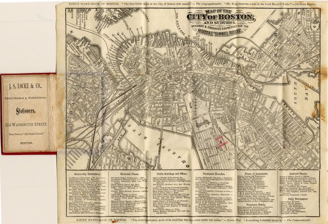
The second pocket map is an uncolored map that folds into fine miniature soft red leather gilt-stamped covers. Key at bottom lists buildings, historical places, newspapers, etc. with their address or location. Endorsements surround the map including the "most satisfactory work of its kind that has every come under our notice" according to the Boston Post. This kind of praise is normally reserved for their larger advertising accounts. Red overprinting locates the Brunswick Hotel. Published by J.S. Locke & Co., Stationers 304 Washington Street, Next Door to the "Old South Church." The map measures 10 x 8.3" and the cover is an amazing 2 x 3.2".
References:
Condition: A
The former with fine covers and the map is very good except for tears where pasted into cover with old repair closing them. Latter map has a little foxing at right edge of map, cover is fine.