Subject: Midwest & Texas
Period: 1877 (dated)
Publication:
Color: Printed Color
Size:
31.3 x 18 inches
79.5 x 45.7 cm
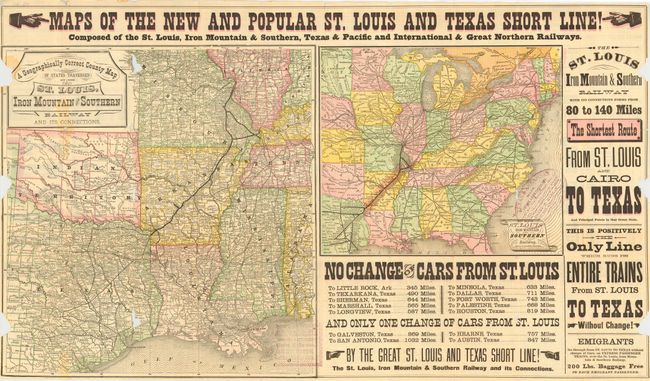
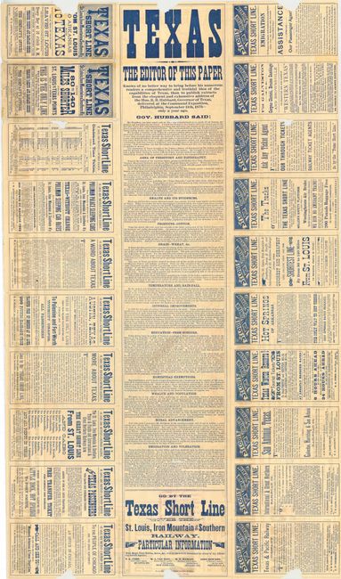
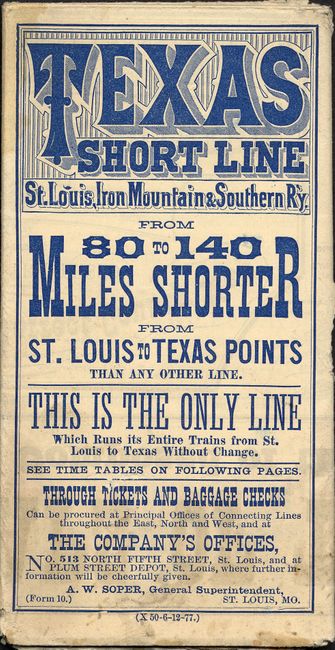
Folding pocket railroad timetable that promises "80 to 140 Miles Shorter from St. Louis to Texas Points than any other line." Great ephemera advertising piece with two maps on one side and marketing text on the other. The maps are: "A Geographically Correct County Map of States Traversed by the St. Louis, Iron Mountain & Southern Railway and its Connections" (16.2 x 15.2"); and "Map of the St. Louis Iron Mountain and Southern Railway, and Connections" (10 x 11.8"), shows the U.S. as far west as central Texas to include Austin and San Antonio. Both in fine printed color. The verso has a simple schedule for 1877, much Texas promotional information including a 10 panel broadside extolling Texas' virtues by Governor Hubbard. Published by Woodward, Tiernan & Hale, St. Louis. Stamp of Henry Hannan, land agent, on both maps in blank areas. A most interesting and scarce advertising broadside promoting immigration to Texas.
References:
Condition: C
Folds into pocket timetable format. Fragile with tears and some areas of loss but still with fine eye appeal.