Catalog Archive
Auction 114, Lot 160
"North America Sheet VII - Pennsylvania, New Jersey, Maryland, Delaware, Columbia and part of Virginia", SDUK Society for the Diffusion of Useful Knowledge
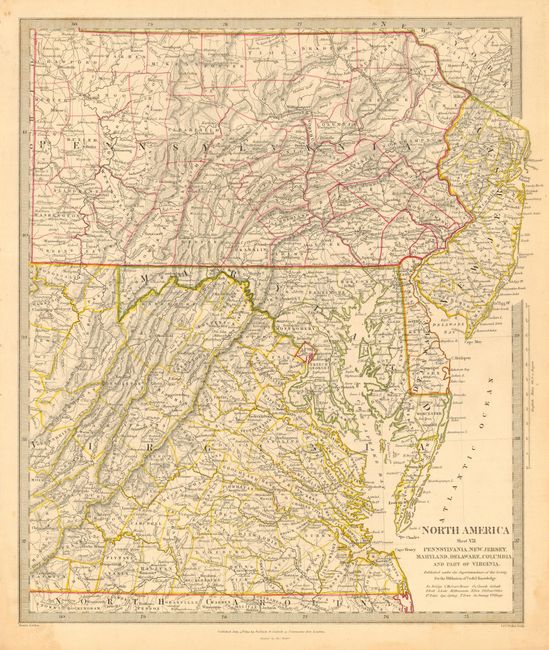
Subject: United States - Mid-Atlantic
Period: 1833 (dated)
Publication:
Color: Hand Color
Size:
12.3 x 14.7 inches
31.2 x 37.3 cm
Download High Resolution Image
(or just click on image to launch the Zoom viewer)
(or just click on image to launch the Zoom viewer)