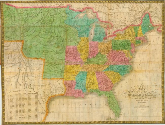
Subject: United States - Eastern
Period: 1834 (dated)
Publication:
Color: Hand Color
Size:
22 x 16.2 inches
55.9 x 41.1 cm
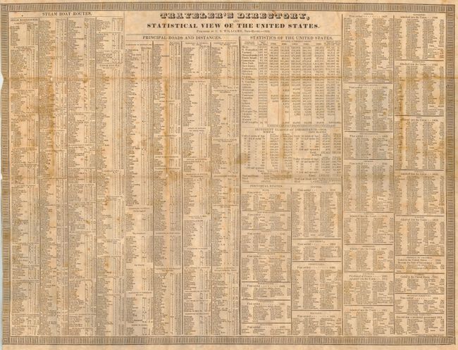
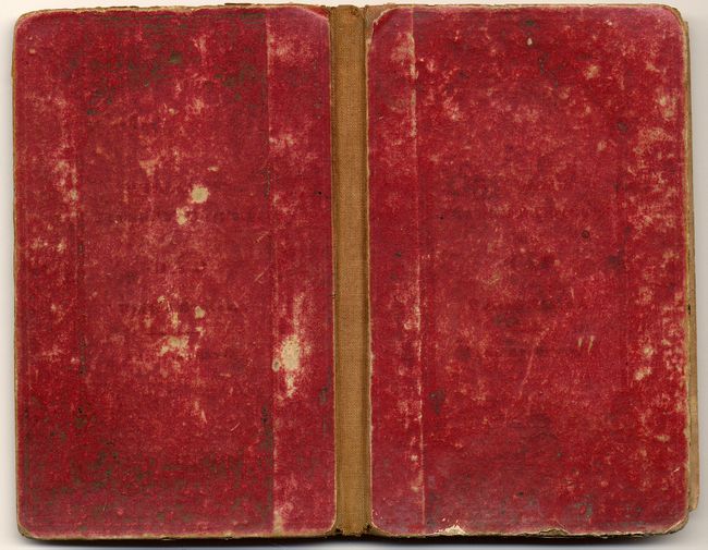
Rarely seen folding pocket map that was taken from Mitchell's version of Finely's work of the same title. The map extends to include all of Texas, here part of Mexico. The entire region from Missouri, Arkansas and above Texas is a huge Missouri Territory that extends to about today's New Mexico and Montana at about 108° West longitude, the full westward extent of the map. Decorative titling and keyboard-style border. A Statistical Table at lower left gives populations to the principal cities and towns, showing a total U.S. population of about 12.8 million. Folds into red cloth covers (3.2 x 5") with the map attached at back cover. Attached to the front cover is "Traveler's Directory, Statistical View of the United States," a 22 x 16.5" broadside. It lists by state/territory the major cities and towns with populations, steam boat routes, major roads, and more. Both sheets are printed on fine bank note paper.
References: Streeter No. 3847.
Condition: B
Map with fine color and beautiful impression. A little scattered foxing & fold intersection splits, one with small loss in Maine. Traveler's Directory with scattered foxing a fold split at left and a couple of edge chips. Covers worn.