Subject: United States
Period: 1885-1919 (dated)
Publication:
Color: Printed Color
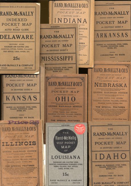
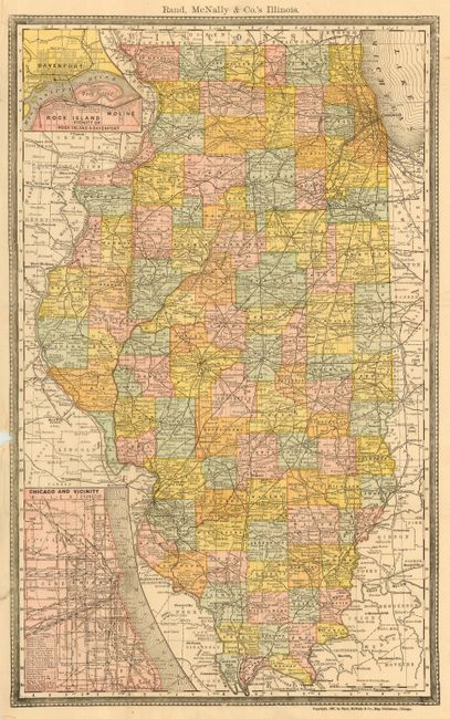
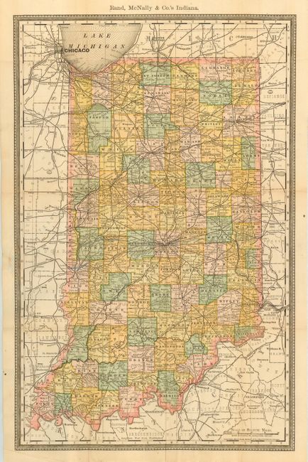
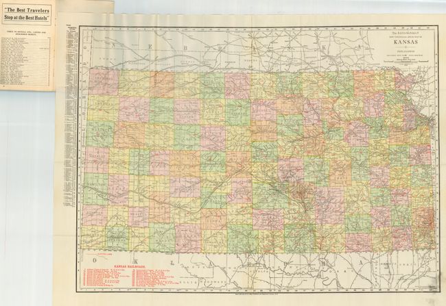
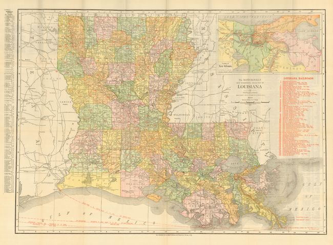
This is a great collection of Rand McNally pocket maps of U.S. states. Each map is in its original paper wrappers with associated text, if so published. Sizes given are approximate for the map, while the covers all measure 4.3 x 6.6". The title given is for the map itself, not the title on the cover. The lot includes these titles:
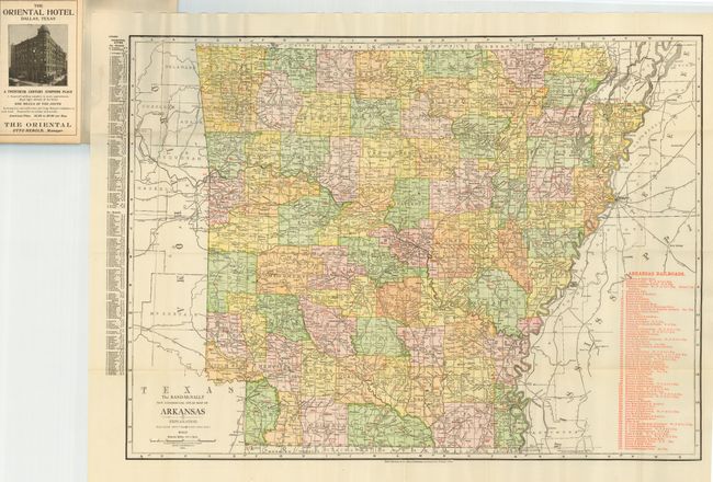
1) The Rand-McNally New Commercial Atlas Map of Arkansas (26.5 x 19") 1914. Map and cover are fine.
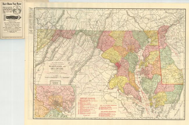
2) The Rand-McNally New Commercial Atlas Map of Maryland and Delaware (25.7 x 18.7") circa 1919. Map is fine. Cover has small loss at tips else fine. The same map is printed on verso in b&w with bold red over printing to show automobile roads! Terrific and early auto map.
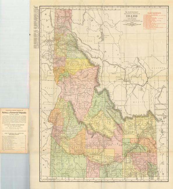
3) The Rand-McNally New Commercial Atlas Map of Idaho (19 x 26") 1912. Map is fine, covers very good.
4) Rand, McNally & Co's Illinois (12.2 x 19.7") 1887. Map and covers are good. Map with some misfolding and missing paper at edge where removed from cover. Cover with some light soiling at front and at top along margin is $.25 price stamped in purple ink.
5) Rand, McNally & Co's Indiana (12.6 x 19.6") 1885. Map and cover are very good. Covers are split at spine, contents fine. Map is detached with some paper weakening in margin from removal.
6) The Rand-McNally New Commercial Atlas Map of Kansas (26.5 x 19") 1913. Map is very good and cover fine. Map has light ink smudge in lower right corner outside printed color area of map and two small very light stains.
7) The Rand-McNally New Commercial Atlas Map of Louisiana (26.5 x 18.5") 1915. Map and cover are very good to fine. Map is detached from cover and no text was present in this issue. Red apple sticker at upper corner of cover for "Brown-Preuss Master Stationers, 918 Grand Ave., K.C., MO.
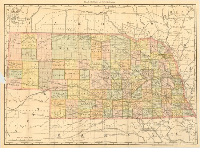
8) Rand, McNally & Co's Nebraska (25.5 x 19") 1889. Map and covers are good to very good. Map has small missing paper at edge where removed from cover that affects border, and numerous light pencil routes drawn on map. Cover is loose from contents.
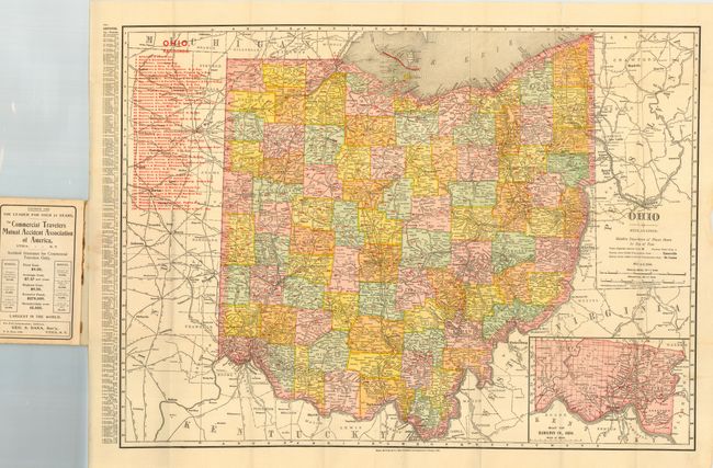
9) Rand, McNally & Co's Indexed County and Railroad Pocket Map and Shipper's Guide to Ohio... (12.6 x 19") 1905. This is the title on the cover - the map is simply titled "Ohio." Map and contents are fine, covers are good as they are partially split along spine and previous owner's name in ink on cover above border.
Plus a 10th cover without the map: The Rand-McNally Indexed County and Township Pocket Map and Shipper's Guide of Mississippi, 1913. Covers and contents are fine. Altogether a great lot of ten original Rand McNally covers with nine maps present.
References:
Condition:
Condition varies, see descriptions.