Catalog Archive
Auction 114, Lot 108

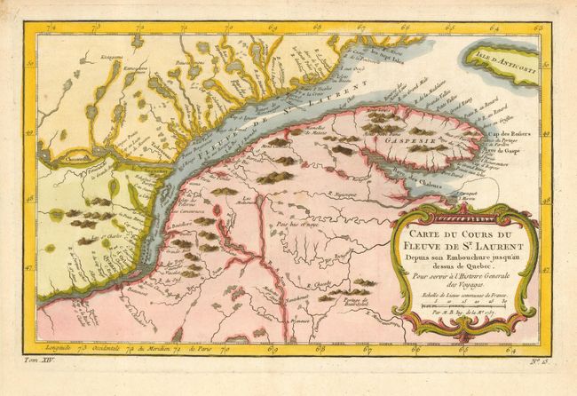
"Carte du Cours du Fleuve de St. Laurent Depuis son Embouchure jusqu'au dessus de Quebec", Bellin, Jacques Nicolas

Subject: Canada

Period: 1757 (dated)

Publication: L'Histoire Generale des Voyages

Color: Hand Color

Size:
12 x 7.5 inches
30.5 x 19.1 cm
Download High Resolution Image
(or just click on image to launch the Zoom viewer)

Nice example of the first state of this copper engraved map, published by Prevost. The map details the course of the St. Lawrence River from Anticosti Island and the mouth west to beyond Quebec. It details many rocks and shoals in the river with numerous villages and forts located along the shore. Decorated with a rococo-style cartouche.

References: Kershaw #626.

Condition: A

Stain and small tear in blank margins.

Estimate: $130 - $170

Sold for: $100

Closed on 3/1/2006

Archived