Subject: Atlases
Period: 1686 (dated)
Publication:
Color: Black & White
Size:
3.3 x 5.5 inches
8.4 x 14 cm
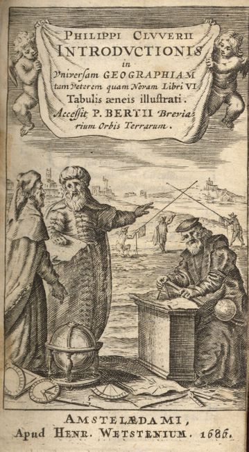
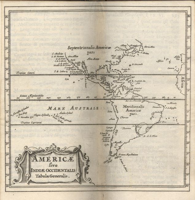
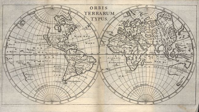
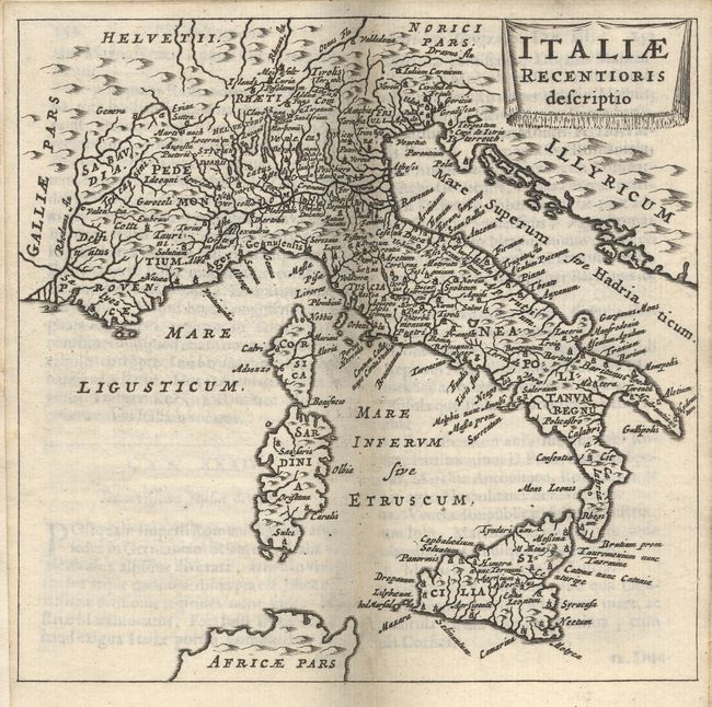
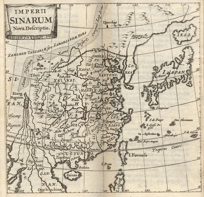
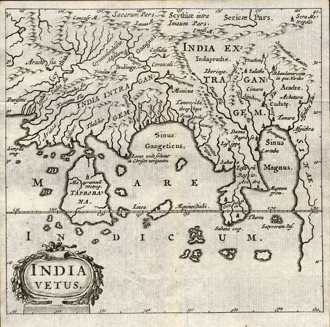
Fine example of the standard geographical text-book of the seventeenth century, by the father of modern historical geography. The Introductionis was published numerous times between 1624 and 1729 with each successive edition becoming more elaborate and the later editions including finely engraved maps. About half the maps are classical ones derived from Ortleius' Paregon. The world map shows California as an island. This edition was published by Henry Wetstein.
24mo, engraved title page, [xx], 355, 2 folding tables, 37 (of 38) maps (missing Persia), table of Roman Emperors and index [73]. Original full calf binding with raised embossed bands.
References: King (2nd ed.) pp. 128-29.
Condition: A
Binding overall sound with minor loss at bottom of spine and at corners. Contents clean and bright, one map loose. Ink notations and small hole on front end paper, lacking back end paper.