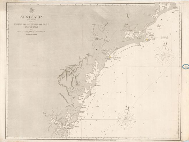
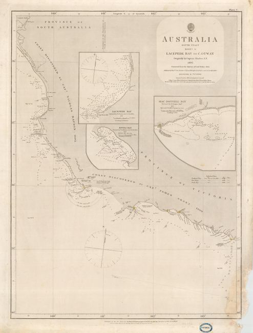
Subject: Australia
Period: 1862-63 (dated)
Publication:
Color: Black & White
Size:
24.5 x 19 inches
62.2 x 48.3 cm
Pair of large-scale sea chart of the coasts of Australia. First is from a survey by Captain J. Lort Stokes of the H.M.S. Acheron. This chart was originally published in 1852 based on these surveys and includes corrections made to September 1862 by the Hydrographic Office of the Admiralty. Second is from the original survey by Captain Flinders in 1802, corrected by Stokes in 1843 with additions by the Admiralty to May 1863. There are a couple of pencil course notes in the chart. Labels of the Blundell & Fored, Admiralty Chart Agents, Melbourne in blank margins. Uncolored except for lighthouses, which are colored yellow and red.
References:
Condition: B
First is very good with a couple of minor tears in blank margins. Second with a damp stain and paper damage in bottom right corner, mostly affecting the blank margin but slightly discoloring the corner of the map.