Catalog Archive
Auction 113, Lot 253

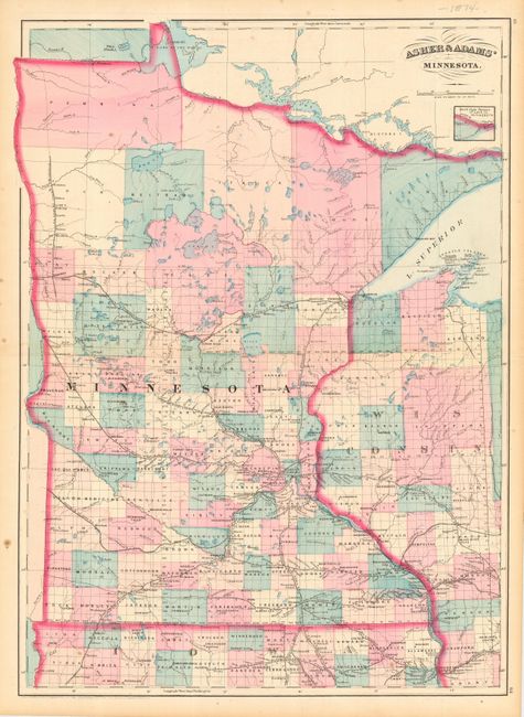
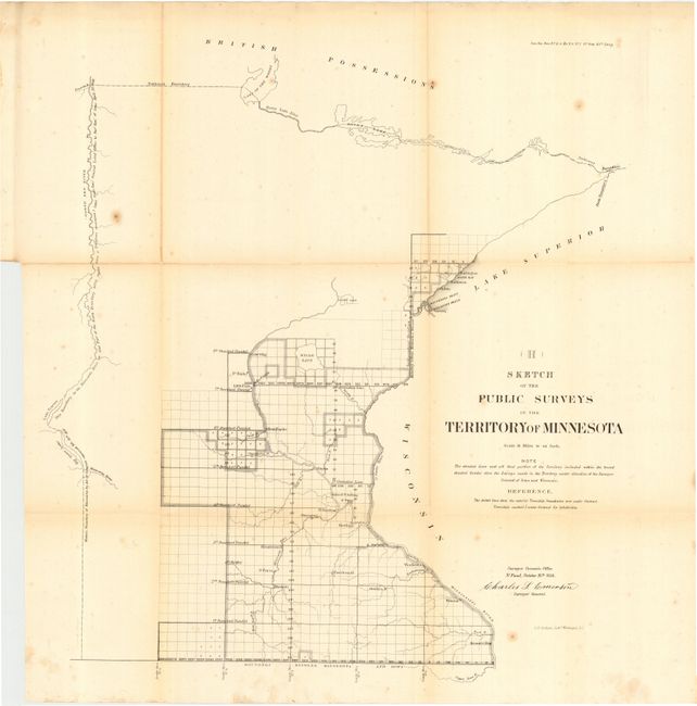
"[Lot of 2] Asher and Adams' Minnesota [and] Sketch of the Public Surveys in the Territory of Minnesota",

Subject: Minnesota

Period: 1856-74 (published)

Publication:

Color:

Size:
See Description
Download High Resolution Image
(or just click on image to launch the Zoom viewer)

Lot of two maps related to Minnesota. First (16 x 22") is a fully hand colored map by Asher and Adams published in New York, 1874. This map provides excellent detail of counties, villages, cities, watershed, etc. Numerous named railroads are shown in bold detail. The second (20 x 22") was published in 1856 by the General Land Office. This uncolored map shows the early and limited progress of public surveys up to October 26th, 1856. Signed in the plate by Charles L. Emerson, Surveyor General. Folding as issued.

References:

Condition:

First is clean and bright, very good. Second with some scattered foxing and fold toning, good. Good original margins for both.

Estimate: $120 - $160

Sold for: $75

Closed on 12/7/2005

Archived