Catalog Archive
Auction 113, Lot 241

"Map of the Territory of Hawaii", General Land Office
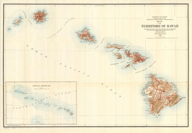
Subject: Hawaii

Period: 1905 (dated)

Publication:

Color: Printed Color

Size:
32.8 x 21.5 inches
83.3 x 54.6 cm
Download High Resolution Image
(or just click on image to launch the Zoom viewer)

A colorful map of the Hawaiian Islands developed shortly after annexation and with little settlement shown outside of Oahu. The Mauna Loa volcano is shown with its lava flows. Includes a large inset of the Hawaiian Archipelago extending out beyond Midway. Prepared by I.P. Berthrong under the direction of Frank Bond, Chief of Drafting Division. A beautiful example of this chart.

References:

Condition: A+

Folding, as issued. Crisp, clean example with one short binding side tear into border, closed on verso with archival tape.

Estimate: $140 - $180

Sold for: $275

Closed on 12/7/2005

Archived