Catalog Archive
Auction 113, Lot 108

"North America from the Latest Authorities", Darton, William

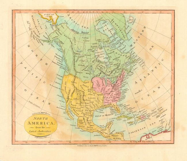
Subject: North America

Period: 1812 (dated)

Publication:

Color: Hand Color

Size:
11.5 x 9.3 inches
29.2 x 23.6 cm
Download High Resolution Image
(or just click on image to launch the Zoom viewer)

An uncommon copper engraved chart in which Mexico controls the entire western portion from the Mississippi and Missouri Rivers, and north to the Oregan R. and River of the West at about today's border with Canada. California and the Northwest are here called New England. The entire west is virtually blank with a few mountain ranges guessed at and the Colorado River named.

References:

Condition: B

Nice impression and coloring with wide margins. Toned or foxed in blank oceans.

Estimate: $120 - $160

Sold for: $90

Closed on 12/7/2005

Archived