Catalog Archive
Auction 112, Lot 791

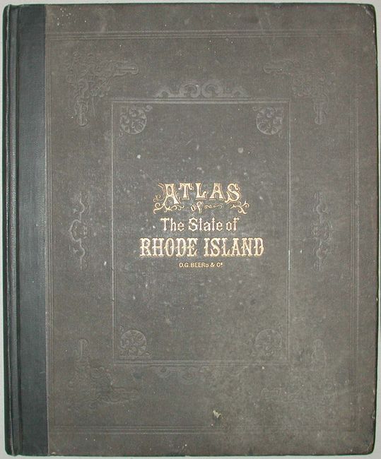
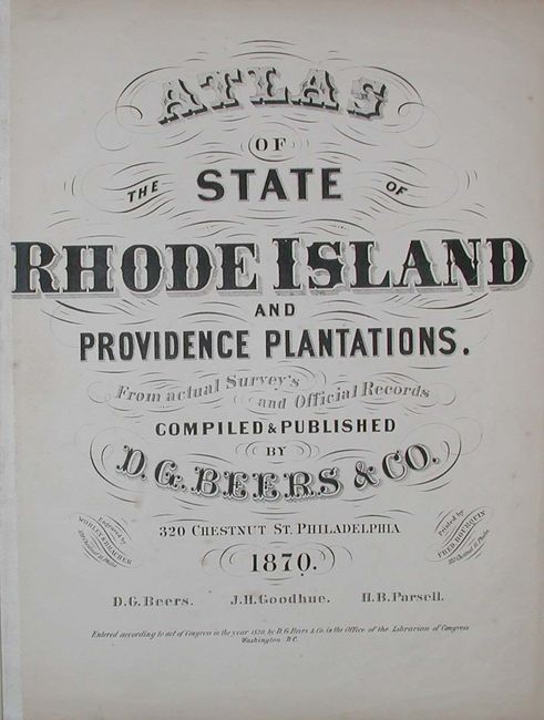
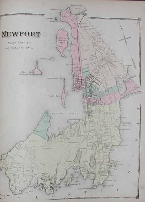
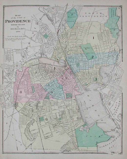
"Atlas of the State of Rhode Island and Providence Plantations", Beers, D.G. & Co.

Subject: Atlases

Period: 1870 (published)

Publication:

Color: Hand Color

Size:
14 x 17 inches
35.6 x 43.2 cm
Download High Resolution Image
(or just click on image to launch the Zoom viewer)

A fine example of this desirable state atlas by the Beers publishing house. Complete with 53 well colored and engraved maps, most city plans and a fine map of Rhode Island. Includes maps of every town in the state with details down to individual land owners. Many double-page maps plus a very large folding map of Pawtucket. Folio, gilt-stamped cloth, professionally rebacked spine, new endpapers.

References: LeGear #3163

Condition: A

Maps are very good. Front cloth cover with a little soiling and a stain. Large folding map of Pawtucket has a two short marginal splits along folds and one misfolded crease.

Estimate: $800 - $1,000

Sold for: $600

Closed on 9/28/2005

Archived