Catalog Archive
Auction 112, Lot 77

"Americae sive Indiae Occidentalis Tabula Generalis", Cluver, Philipp

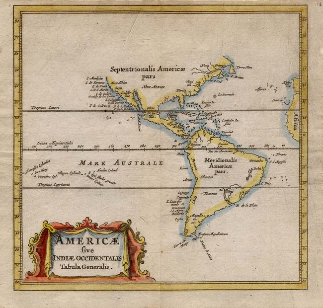
Subject: Western Hemisphere

Period: 1661 (circa)

Publication: Introductionis in Universam Geographicam

Color: Hand Color

Size:
4.9 x 4.6 inches
12.4 x 11.7 cm
Download High Resolution Image
(or just click on image to launch the Zoom viewer)

This tiny map is a reduced version of the important map of De Laet, 1630. It is a simple map of the coastlines of the Americas with many rivers and bays and a few place names. The most notable place named on the East Coast of North America is C. Cod. There are no Great Lakes shown in North America and conspicuously absent is the mythical Lake Parime in South America. It is adorned with a relatively large title cartouche.

References:

Condition: A

Some printer's ink residue in plate, else fine. Remnants of hinge tape on verso.

Estimate: $275 - $350

Sold for: $200

Closed on 9/28/2005

Archived