Catalog Archive
Auction 112, Lot 643
"[Lot of 2] Carte de la Baye d'Hocsieu et des Entrees de la Riviere de Chang, dans la Province de Fokyen, en Chine [and] Fu Cheu Fu ou Hoksyeu Capitale de Fo-Kyen", Van Schley, J.
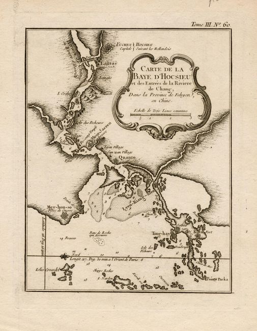
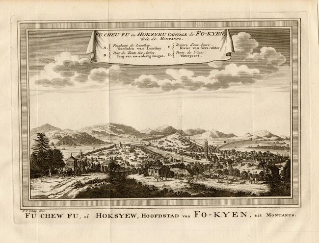
Subject: China
Period: 1760 (circa)
Publication:
Color: Black & White
Size:
See Description
Download High Resolution Image
(or just click on image to launch the Zoom viewer)
(or just click on image to launch the Zoom viewer)