Catalog Archive
Auction 112, Lot 545

"A New & Accurate Map of the Islands of the Archipelago, together with the Morea, and the Neighboring Countries in Greece &c.", Bowen, Emanuel
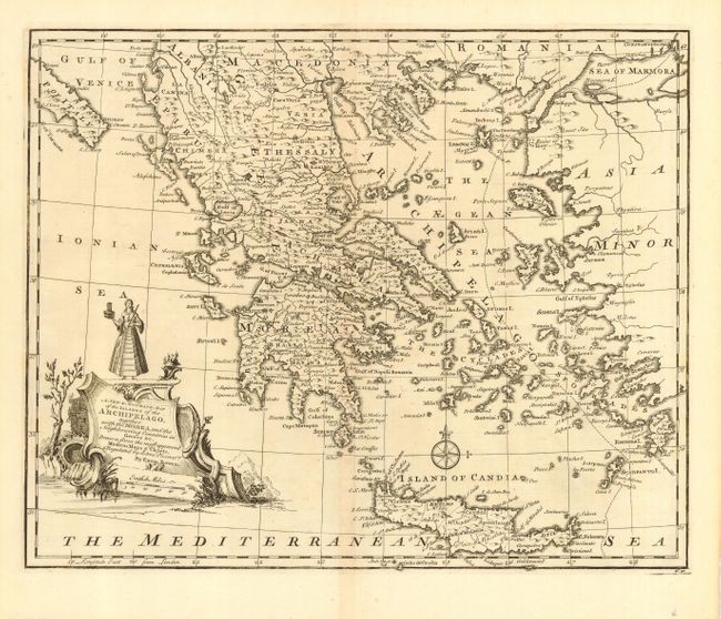
Subject: Greece

Period: 1747 (published)

Publication: A Complete System of Geography

Color: Black & White

Size:
17 x 13.6 inches
43.2 x 34.5 cm
Download High Resolution Image
(or just click on image to launch the Zoom viewer)

Beautifully engraved chart of the region that extends north to Albania, Macedonia, and Romania, east to Asia Minor, and south to show Candia with good detail of the Grecian Archipelago. Shows the southern tip of Italy and all of the Aegean and locates Cyclades, Morda, Candia, Macedonia, Thessaly, Achaia, etc. Decorative cartouche with a female figure and English miles scale. Emanuel Bowen was an active English engraver, publisher and map seller. He held the dual appointment of engraver to both George II and Louis XV of France. Nice example of this chart in original uncolored state.

References: cf Phillips (A) #614, Rumsey #3733.

Condition: A+

Lovely impression on a fine sheet of hand laid paper with original margins. Faint centerfold toning.

Estimate: $140 - $180

Sold for: $140

Closed on 9/28/2005

Archived