Catalog Archive
Auction 112, Lot 524
"A New Map of the Kingdom of Poland, with its Dismembered Provinces and the Kingdm. of Prussia", Laurie & Whittle
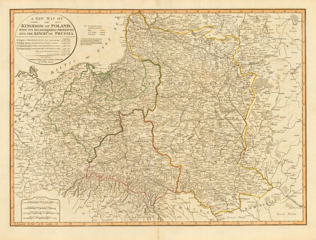
Subject: Eastern Europe, Poland
Period: 1799 (dated)
Publication:
Color: Hand Color
Size:
26.3 x 19 inches
66.8 x 48.3 cm
Download High Resolution Image
(or just click on image to launch the Zoom viewer)
(or just click on image to launch the Zoom viewer)