Catalog Archive
Auction 112, Lot 518
"Les Royaumes de Pologne et de Prusse avec le Duche de Curlande Divises en Provinces et Palatinats…", Janvier/Lattre
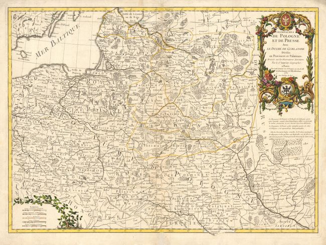
Subject: Eastern Europe
Period: 1760 (dated)
Publication: Atlas Moderne
Color: Hand Color
Size:
25.5 x 18.5 inches
64.8 x 47 cm
Download High Resolution Image
(or just click on image to launch the Zoom viewer)
(or just click on image to launch the Zoom viewer)