Catalog Archive
Auction 112, Lot 410

"Carte des Pays Bas Catholiques…", Delisle/Covens & Mortier

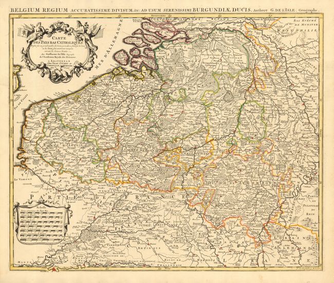
Subject: Belgium & Luxembourg

Period: 1730 (circa)

Publication:

Color: Hand Color

Size:
23.5 x 20 inches
59.7 x 50.8 cm
Download High Resolution Image
(or just click on image to launch the Zoom viewer)

A fine and detailed map of the region published from Delisle's plate. Includes Luxembourg and bordering parts of France and Germany. Decorative title and distance scales cartouches both in original uncolored state. A very fine example of this map.

References:

Condition: A+

Dark, early impression with fine original coloring on thick hand laid paper with original margins. A little toned and chipped at one side, map image is fine.

Estimate: $180 - $220

Sold for: $100

Closed on 9/28/2005

Archived