Catalog Archive
Auction 112, Lot 390

"Carte du Passage du Sond", Bellin, Jacques Nicolas

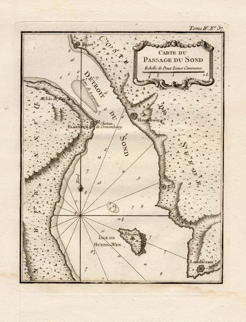
Subject: Denmark & Sweden

Period: 1750 (circa)

Publication:

Color: Black & White

Size:
7 x 8.5 inches
17.8 x 21.6 cm
Download High Resolution Image
(or just click on image to launch the Zoom viewer)

Copper engraved chart of the Oresund, the strait that separates the Danish island Zealand from the southern Swedish province Scania, and controls traffic between the North Sea and the Baltic Sea. Political control of Oresund has been an important issue in Danish and Swedish history with both countries erecting coastal fortresses, the most important of which are Kronborg (Danish) and Helsingborg (Swedish).

References:

Condition: A

Damp stain in bottom margin, just touching neatline.

Estimate: $75 - $100

Sold for: $55

Closed on 9/28/2005

Archived