Subject: South America - Central
Period: 1809 (published)
Publication: Voyages dan l'Amerique Meridionale
Color: Black & White
Size:
16.5 x 23.3 inches
41.9 x 59.2 cm
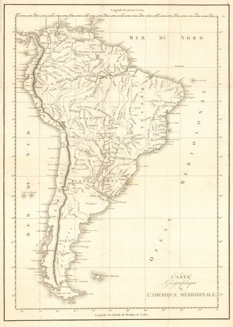
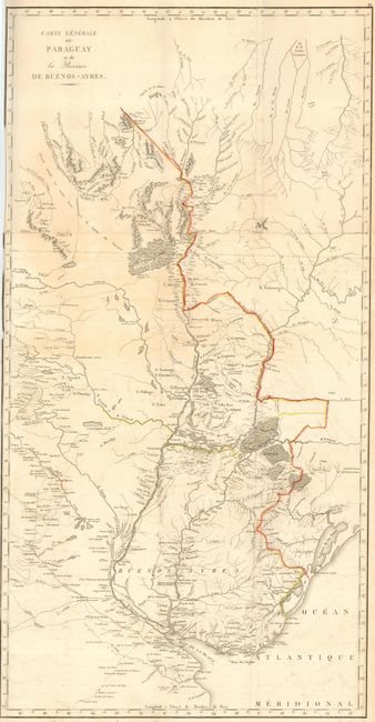
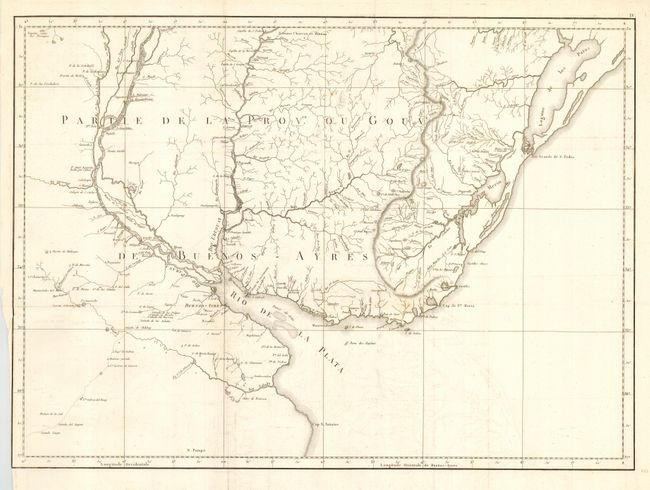
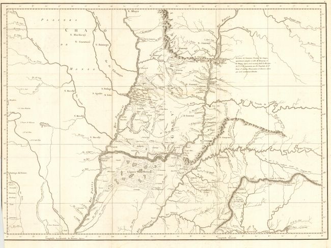
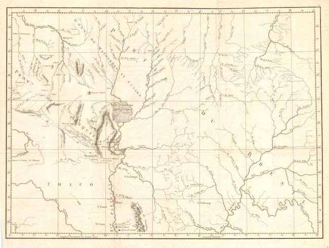
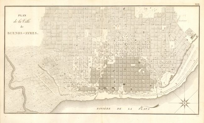
These fine copper engraved maps are from De Azara's important narrative of the discovery and conquest of Paraguay and the Plata River. De Azara went to South America in 1781 as one of the commissioners to settle the boundary between the Spanish and Portuguese possessions. He remained there for twenty years and became an authority on both the natural and political history of the region. The first map, Carte Geographique de l'Amerique Meridionale (16.5 x 23.3") is attributed by Rigobert Bonne. The others were drawn specifically to illustrate this work and are filled with exception detail, not found on any other maps of this period. These are: Carte Generale du Paraguay et de la Province de Buenos-Ayers (17.5 x 34.5") outline color; Parte de la Prov.ce ou Gouvt. de Buenos-Ayers (23.8 x 17"); Chaco (23.8 x 17"); Partie du Bresil (23.8 x 17"); and Plan de la Ville de Buenos-Ayres (18.5 x 10").
References:
Condition: B
Maps are folding as issued. Generally very good to good with some faint offsetting or surface soil. The second map is trimmed to the neatline on the binding side. The plan has minor separations along fold.