Catalog Archive
Auction 112, Lot 130

"United States and Additions", Thomson, John

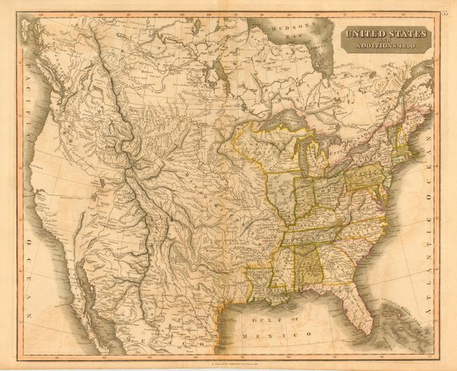
Subject: United States

Period: 1820 (dated)

Publication: New General Atlas

Color: Hand Color

Size:
23.8 x 20 inches
60.5 x 50.8 cm
Download High Resolution Image
(or just click on image to launch the Zoom viewer)

This interesting map of the United States shows the recently purchased Florida, the Northwest Territory and a huge Missouri Territory. The old Spanish districts, St. Louis, Cape Girardeau, Lawrence and Arkansas, are shown just west of the Mississippi River. In the west "the supposed course of a River" extends from San Francisco Bay to a Salt Lake. There are hundreds of Indian place names, interesting notations and what appear to be Indian trails or trading routes.

References: Wheat (TMW) #340.

Condition: B

Toned with some offsetting and damp stains. Short split on bottom fold.

Estimate: $250 - $350

Sold for: $425

Closed on 9/28/2005

Archived